


Health & LivingNewsOutdoorsWeather
Update: Winter Weather Advisory Extended to 8 pm Tuesday Along I-35 Corridor
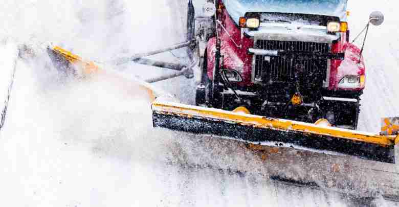
URGENT - WINTER WEATHER MESSAGE
National Weather Service Des Moines IA
253 PM CST Tue Nov 15 2022

.Light snowfall continues to fall over parts of the area, but has
shifted mostly into north central into eastern Iowa. Additional
accumulations of an inch or less are possible, including the
potential for scattered slick road conditions.

IAZ006-007-016-017-025>028-037>039-049-050-062-160200-
/O.CON.KDMX.WW.Y.0014.000000T0000Z-221116T0200Z/
Winnebago-Worth-Hancock-Cerro Gordo-Wright-Franklin-Butler-Bremer-
Hardin-Grundy-Black Hawk-Marshall-Tama-Poweshiek-
Including the cities of Forest City, Lake Mills, Northwood,
Manly, Garner, Britt, Kanawha, Mason City, Clear Lake,
Eagle Grove, Clarion, Belmond, Hampton, Parkersburg, Clarksville,
Shell Rock, Greene, Aplington, Allison, Dumont, Waverly,
Iowa Falls, Eldora, Ackley, Grundy Center, Reinbeck, Conrad,
Dike, Wellsburg, Waterloo, Cedar Falls, Marshalltown, Tama,
Toledo, Traer, Dysart, Gladbrook, and Grinnell
253 PM CST Tue Nov 15 2022

...WINTER WEATHER ADVISORY REMAINS IN EFFECT UNTIL 8 PM CST THIS
EVENING...

* WHAT...Snow expected. Total snow accumulations of 1 to 3
  inches. Locally higher amounts may occur along and just west
  of the Interstate 35 corridor.

* WHERE...Parts of north central Iowa.

* WHEN...Until 8 PM CST this evening.

* IMPACTS...Plan on slippery road conditions. The hazardous
  conditions could impact the evening commute.

PRECAUTIONARY/PREPAREDNESS ACTIONS...

Slow down and use caution while traveling.

For the latest travel conditions, check the Iowa 511 app,
www.511ia.org, or dial 511.