


National Weather Service Adjusts Winter Storm Forecast
National Weather Service La Crosse…WINTER STORM WARNING GOES INTO EFFECT FROM 6 PM THIS EVENING for Mitchell- Howard- Winneshiek-Allamakee- Floyd-and Chickasaw-counties; Including the cities of Osage, Cresco, Decorah, Waukon, Charles City, New Hampton.
National Weather Service Des Moines…..WINTER STORM WARNING GOES INTO EFFECT FROM 3 PM THIS AFTERNOON for Emmet-Kossuth-Winnebago- Worth-Palo Alto-Hancock-Cerro Gordo-Pocahontas-Humboldt-Wright-Franklin-Butler and Bremer- counties Including the cities of Algona, Forest City, Lake Mills, Northwood, Manly, Garner, Britt, Mason City, Clear Lake, Parkersburg, Clarksville, Shell Rock, Greene, Allison, Waverly.
Meteorologist Kevin Skow says forecast models are now calling for a moderate snowfall accumulation in north central and northeast Iowa.
Skow says snowfall could start in northeast Iowa in time for the Wednesday evening commute.
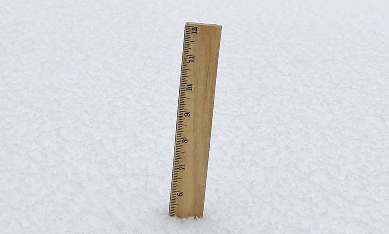
Initial forecasts called for up to eight inches of snow, but Skow says that appears unlikely in northeast Iowa.
The Winter Storm Warning also ends at 9am Thursday for north central Iowa for areas west of a Mason City to Waverly line. A wintry mix is also possible late this evening into the overnight. Some freezing rain could occur with a glaze of ice accumulations possible.Some minor blowing snow may occur with wind gusts in the 20 to 25 mph range but it is not expected to have a significant impact with this event.
Travel could be very difficult. The hazardous conditions could impact the Thursday morning commute. If you must travel, keep an extra flashlight, food, and water in your vehicle in case of an emergency.
In Iowa, visit 511ia.org for road conditions. In Minnesota, visit 511mn.org for road conditions. In Wisconsin, visit 511wi.gov for road conditions.